Teledyne Optech and Teledyne CARIS have united to form the new Teledyne Geospatial offering holistic solutions to seamlessly map land and sea through the integration of industry-leading lidar sensors and world-renowned software workflows.
This collaboration empowers customers with a competitive edge in mapping and delivering data products inside of one complete workflow. Ease of collection and processing through to final products is enhanced with efficiency-driving AI noise classifying algorithms and real time quality control.
Read more about how this merger will benefit the geospatial community
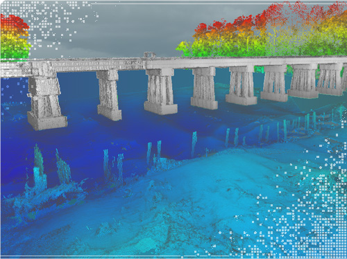
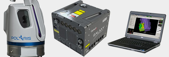
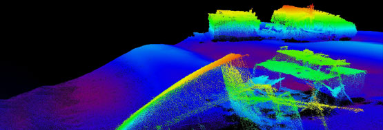
Our powerful, highly efficient laser scanning systems capture remarkable 3D data whether on the ground, in the air, or even over water. And our comprehensive data fusion software allows us to combine aerial, terrestrial, and bathymetric lidar data with sonar data, water column measurement, visible imagery and GPS data to deliver incredible subsea-to-sky 3D geospatial capture and visualization solutions that set the standards for the industry.
To inquire about or purchase Teledyne CARIS products
Contact Teledyne CARIS SalesTo inquire about or purchase Teledyne Optech products
Contact Teledyne Optech Sales